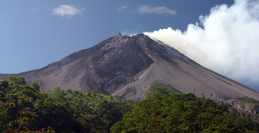
Merapi's Eruptions
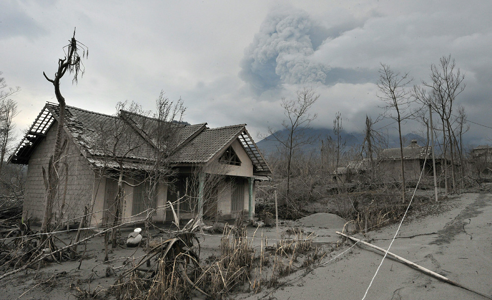
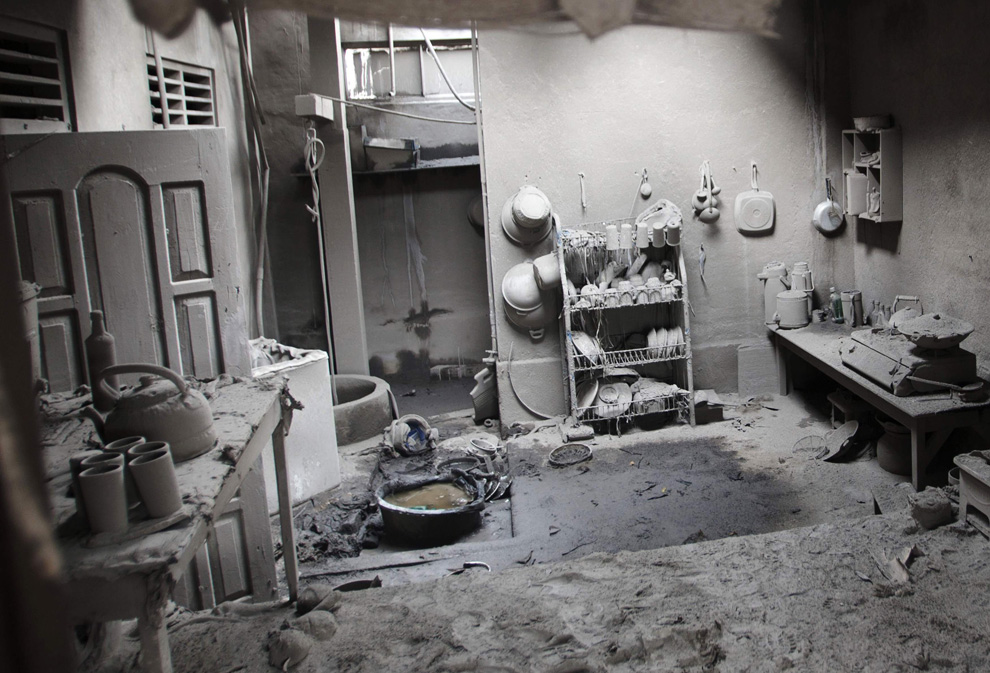
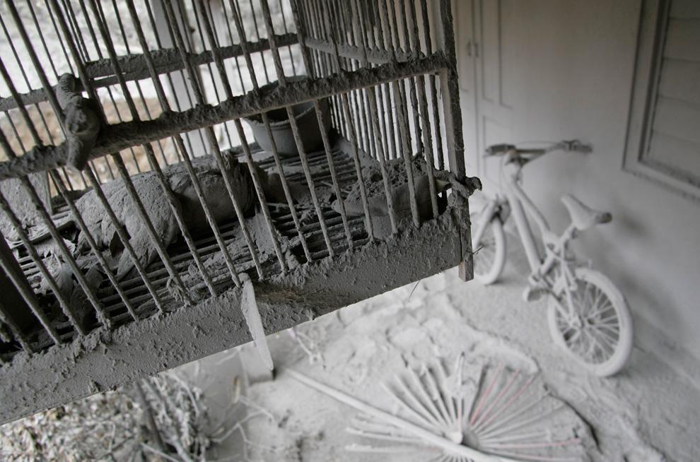
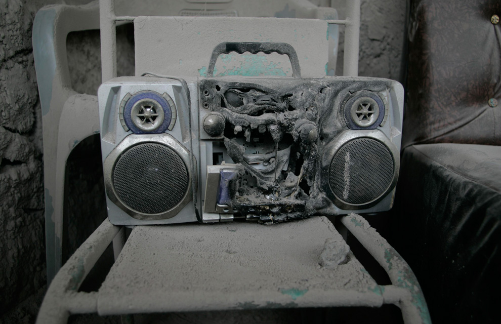
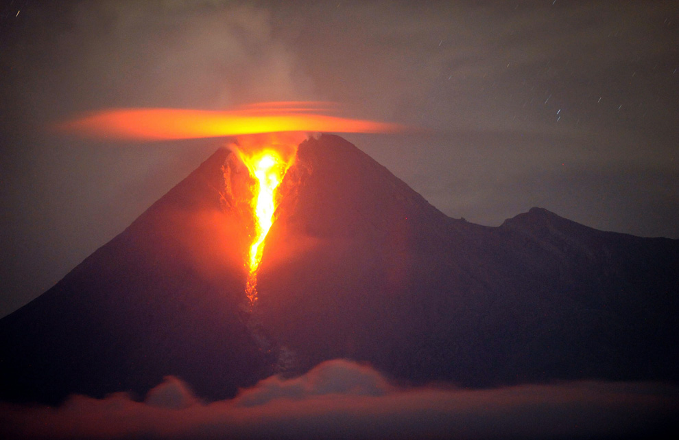
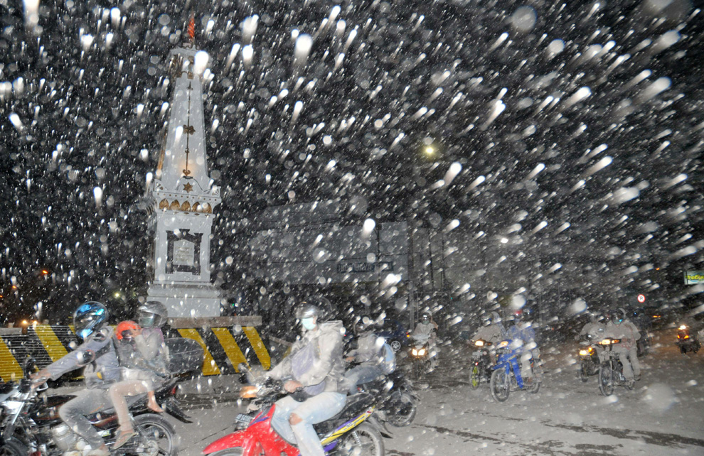
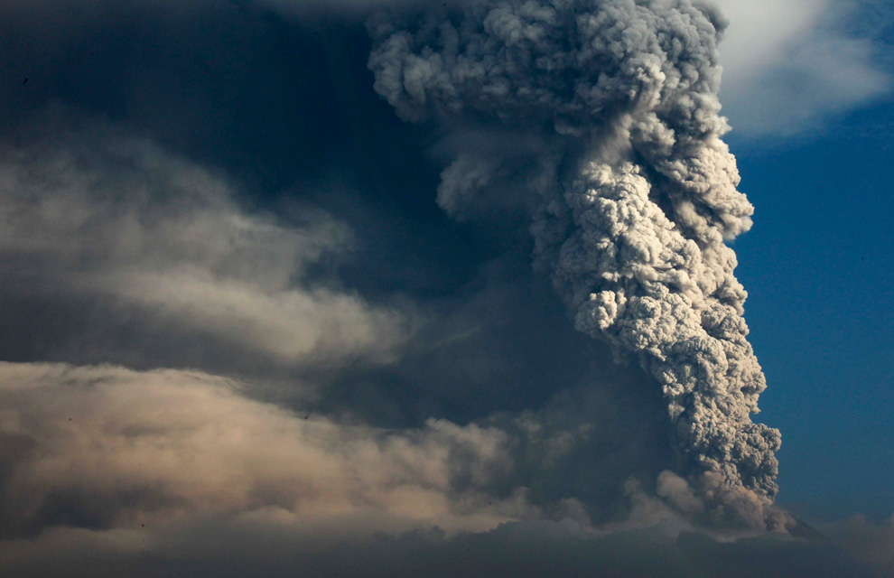
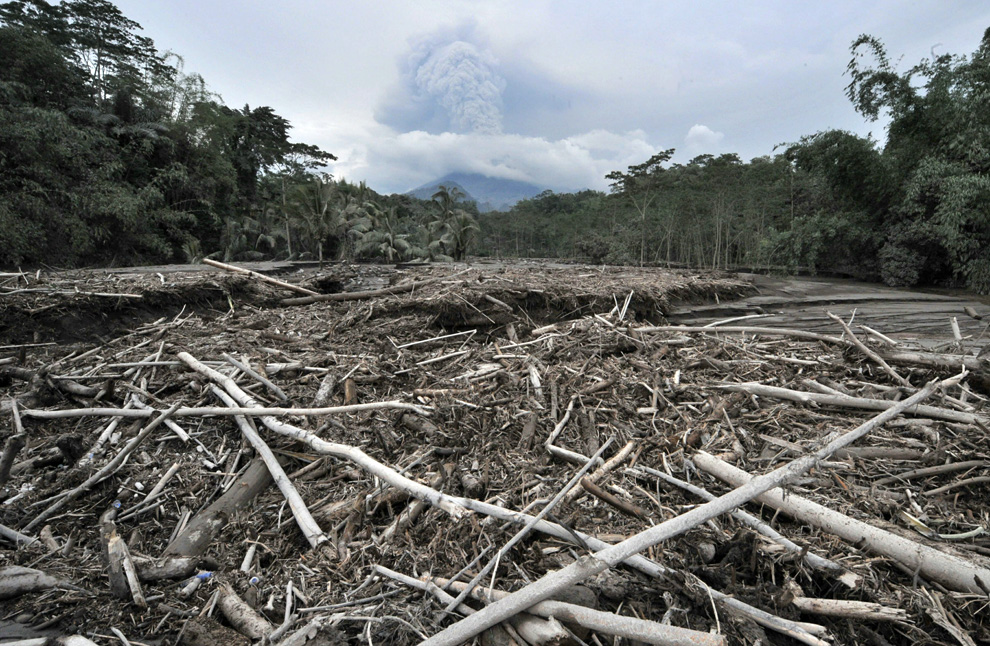
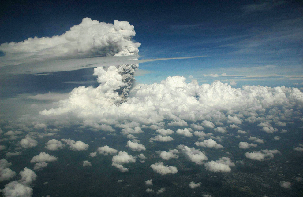
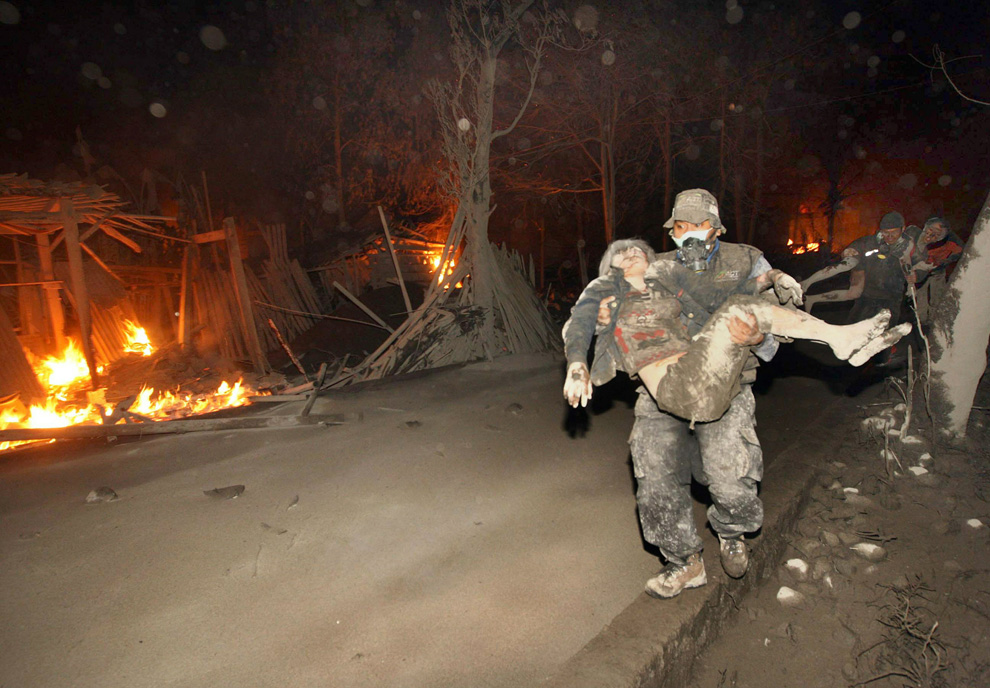
Since its initial eruptions on October 25th, Indonesia's Mount Merapi continues to spew hot gases and ash as far as 5,000 meters into the atmosphere, wreaking havoc on surrounding villages and farms, and disrupting air travel - and more than 140 people have been killed by the eruptions over the past two weeks. Hundreds of thousands of residents have been displaced, many of them living in temporary shelters until the Indonesian government reduces the existing 20 km "safe zone", and allows them and their livestock to return. Collected here are recent images from the area near the unpredictable Mount Merapi as it still rumbles and erupts.
Chronology of The Eruption of Mount Merapi
Mount Merapi last erupted Tuesday, October 26, 2010 at 17:02 West Indonesia Time. Dozens of people were affected, including Mbah Maridjan. Mbah Maridjan is Interpreter Lock Mount Merapi.
The status of Mount Merapi increased from Normal became an Alert on September 20, 2010. On October 21, 2010 the status of Merapi to be alert, and then Watch out, starting from October 25, 2010.
Currently..
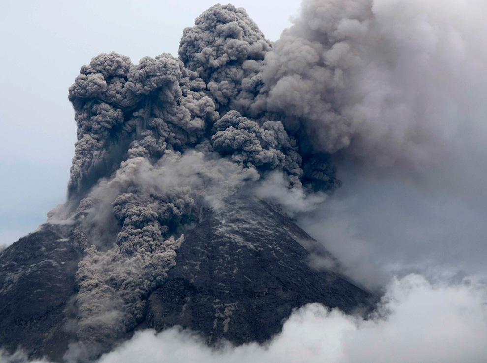
Mount Merapi erupted again Wednesday in the biggest volcanic blast yet, expulsing hot clouds of ash 9 kilometers from its crater and sending residents fleeing in panic.
The Wednesday eruption prompted authorities to expand the danger zone to a 15-kilometer radius from the mountain’s crater, from the previous 10 kilometers, and to close at least three shelters.
The conditions on the ground were worsened by heavy rain in the region. Head of Yogyakarta’s Volcanic Technology Development and Research Center, Subandrio, said there were indications that pressure was still high inside Merapi.
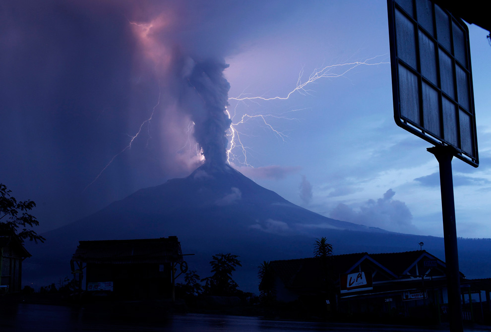
Here are some pictures of this volcano eruptions





0 comments:
Post a Comment